Geophysics 101
A quick summary of our services here at Resource Potentials.
What is Geophysics?
Geophysics is a non-invasive technique to study the subsurface geology of the Earth by exploiting contrasting physical properties of the earth such as: density, magnetic susceptibility, conductivity, electrical chargeability, seismic velocity, etc.
Geophysical Techniques
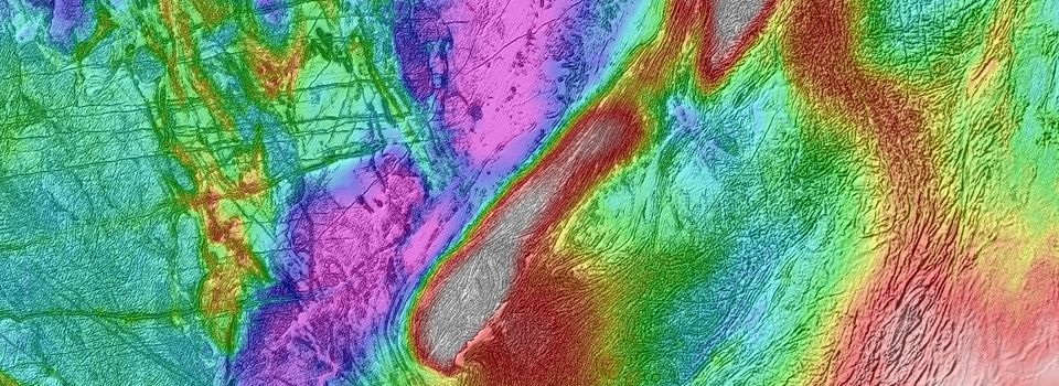
There are many different types of geophysical survey methods that could be applied for mineral exploration, and some combinations are best suited for certain ore deposit styles. Which geophysical technique to utilise is dependent on the physical properties of the host geology and the mineralised target, and other factors such as the size and geometry of the target, depth of investigation and nature of regolith cover. The following list mentions the more commonly used geophysical techniques and their applications:
- Magnetics – bedrock and structural information, regolith features, magnetic detection associated with mineral deposits such as iron ores, or magnetic destruction in hydrothermally altered zones using magnetic field sensors
- Gravity – bedrock and structural information, deposit detection as positive or negative anomalies using meters that measure very subtle changes in gravitational acceleration
- Electromagnetics (EM) – massive to semi-massive sulphide mineral or graphite conductor detection using EM field transmitter and receiver pairs
- Induced Polarisation (IP) – disseminated sulphide and other chargeable mineral detection by measuring ions with transmitter and receiver electrodes
- Sub-Audio Magnetics (SAM) – conductor and magnetic mapping along geological units, structures, regolith and mineralised zones using transmitters and magnetic sensors
- Seismic Reflection – deep information on geological layers, structures and sometimes deposits themselves using large energy sources and arrays of receiver sensors
- Ground Penetrating RADAR (GPR) – shallow object detection where the ground is electrically resistive and there is a dielectric contrast between geological features, common for secondary near surface ores, mineral sands and alluvial deposits, uses transmitter and receiver antenna pairs
- Resistivity – galvanic conductor detection, common electrical sounding method for ground water detection and contamination plumes, uses electrode receiver pairs
If you are considering carrying out a geophysical survey or if you already have geophysical data and aren't quite sure what to do with it, please feel free to contact us.
Find Us
- 1 / 46 Hasler Rd, Osborne Park, WA, Australia, 6017
Call Us
- Phone: +61 8 9289 9100
Email Us
- info@respot.com.au
Website built by Jon Hayward-Crichton. Website hosted by Computer Mechanics.